


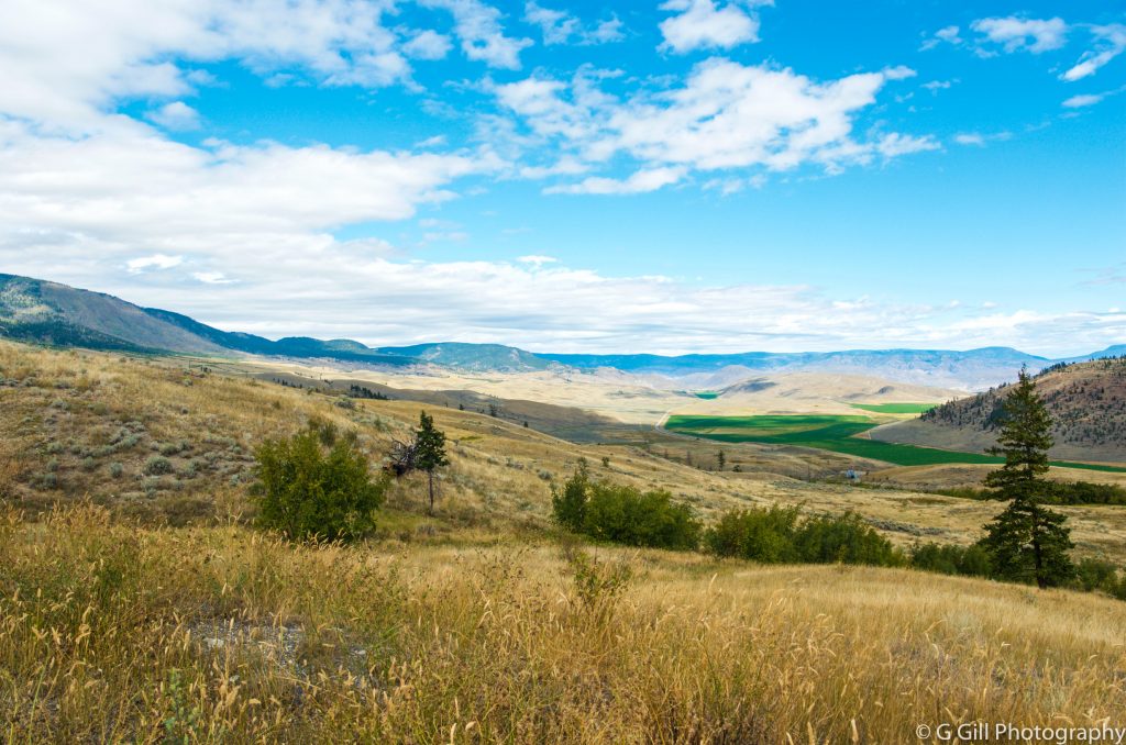
Cornwall Hills Fire Lookout is located at an elevation of 6600 feet or 2036 meters in the Cornwall Hill Provincial Park near Ashcroft, BC . The Park is famous for its incredible bloom of wildflowers in July and August, and 360-degree view of the surrounding areas from the Cornwall Hills.
Background:
“Historical records show that there has been a fire lookout station on the top of Cornwall since the 1980s, although the current building only dates to the late 1950s. It was regularly manned each summer until the early 1990s, after which it was only used if there was a fire risk in the area.
By 1999 it was the only active forest service lookout tower in the Kamloops fire district, and the last time it was used was during the 2003 wildfire in the Cornwall Hills.” (Source: Ashcroft Cache Creek Journal)
In 2015, BC Parks announced plans to dismantle the historic fire lookout at the top of Cornwall Mountain. So, the Four Wheel Drive Association of BC stepped up to voluntarily take over the management of the tower. As of 2016, the Province of BC has entered in to a Partnership Agreement with the Four Wheel Drive Association of BC to assist in managing the most recently active fire lookout tower in the Kamloops District.


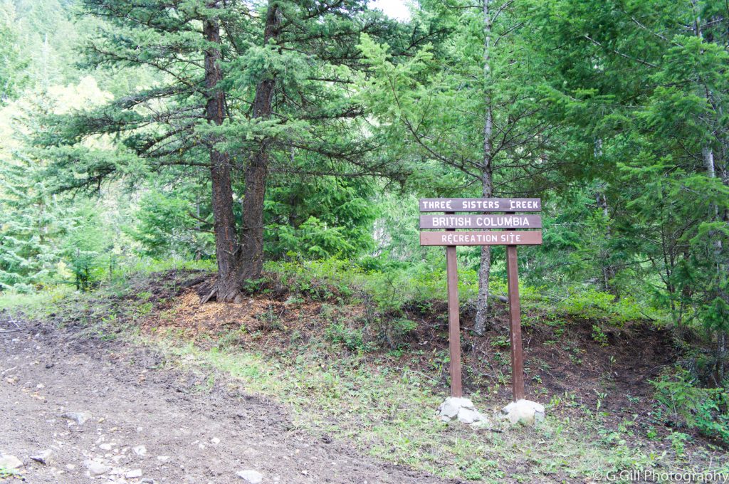
There is one recreational campsite in this area 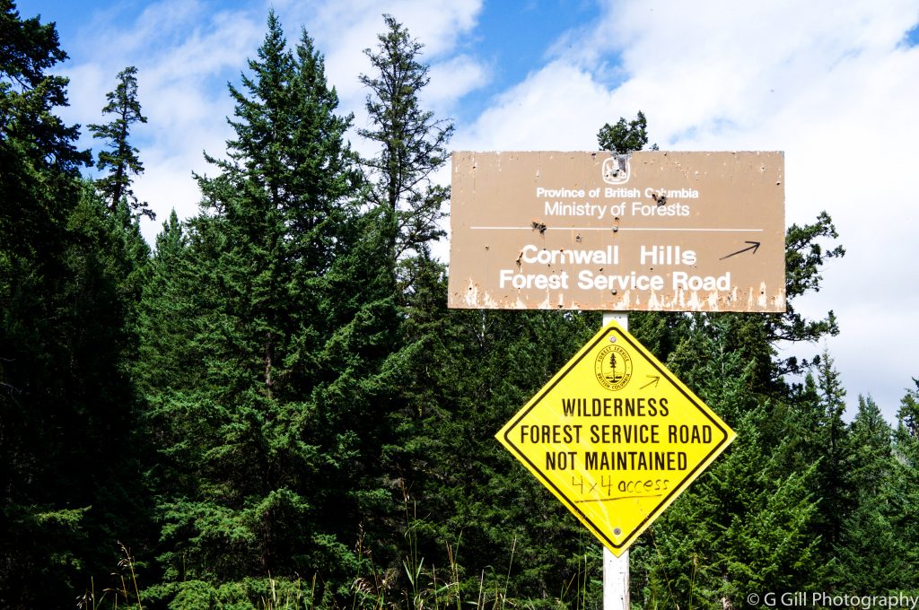

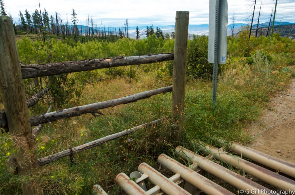
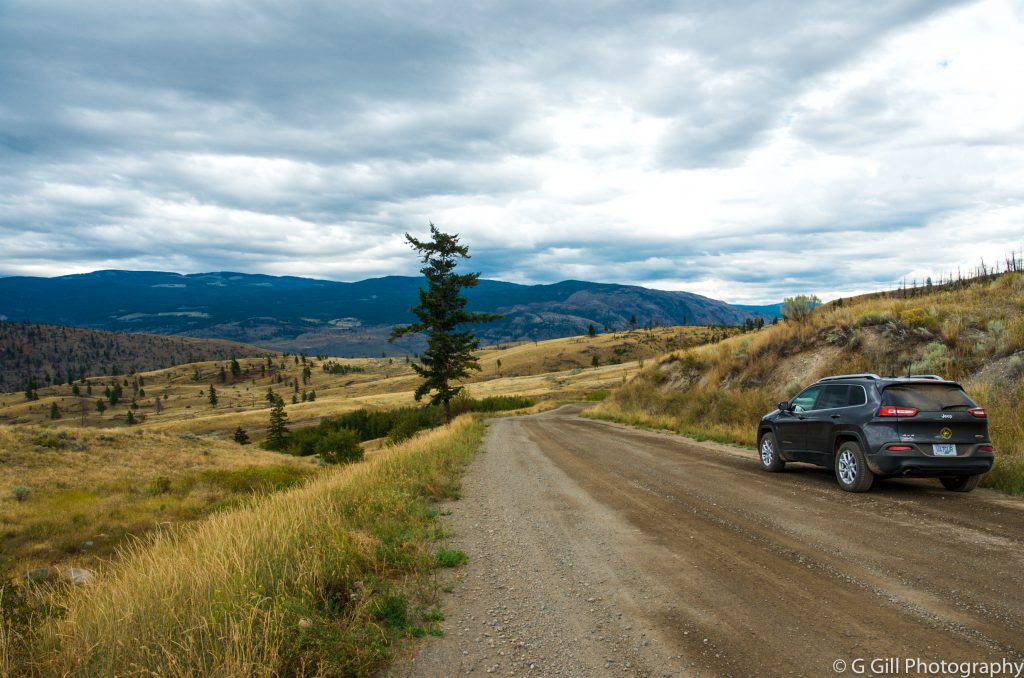
Note: Cornwall FSR is a wilderness Forest Service Road, which is not maintained; 4×4 capable vehicles only. The section of road near the forestry recreation site can be impassable during rainy periods due to deep mud holes.


We are there! 
Signing Visitor book 

Thanks for visiting our blog. Please leave a comment if you find our post helpful, or if you have any questions or suggestions for us.
Tip: If you plan to drive back via Hwy 1 West towards Hope. On your way, you should plan a quick stop at Alexandra Historic Bridge. Read more on our other post.
THERE IS LOT TO EXPLORE. KEEP EXPLORING

Dan
Hi,
Which one would be easier to access off road? Will a bone stock 2019 4runner make it no problem?
Thanks!
admin
Hello Dan, thanks for visiting our blog. Your stock 4runner will make it to the top with no issues. I recommend that you take Oregon Jack FSR from Hwy 1. Enjoy your trip!
Ken Wall-Hillz
You mentioned Turing off the highway south of Cache Creek onto Hat Creek FSR. Did you mean Oregon Jack Creek FSR? Hat Creek runs wet of the Cornwall Hills, and does tie into OJ Creek FSR, but the reference “17km south of Cache Creek” may confuse the directions to those unfamiliar with the area.
admin
Thank you for pointing this out, Ken. We appreciate you taking out time and sharing this important detail. We will incorporate your suggestions and explain it further on our blog post. Thanks for visiting 🙂